


Accessible routes: Between banks, valleys and canals around Altedo
Information
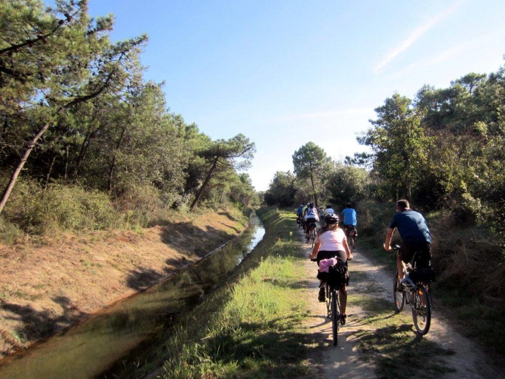
This 40-kilometre-long accessible bicycle itinerary around Altedo explores a part of the Bolognese lowlands.
The starting point is a convenient car park in the centre of Altedo. We begin pedalling out of the town on small roads with low traffic impact that first lead alongside the cemetery and then head (after crossing the overpass over the motorway) towards the Navile Canal for a few hundred metres on our left. We then need to cross the SP20 road, paying the utmost attention at this junction; a new several-hundred-metre cycle track will soon be available (after turning right onto Via Cà Bianca) on the left side of a recently built road.
The traffic will immediately subside as you continue cycling towards Ponticelli and the striking Casona del Popolo; this small hamlet, which in the mid-1940s counted little more than 500 inhabitants, would have to suffer the loss of 28 partisans’ lives for its reluctance to collaborate with and support the newly-born republic of Salò. At the end of the war, many of the inhabitants, mostly peasants and labourers, built a Casa del Popolo (a sort of multi-purpose centre) in their free time from work, where numerous cultural and recreational activities for the entire population could be carried out.
Via Ponticelli meanders through cultivated fields with its winding course ‘emulating’ that of the Navile Canal as it takes us all the way to the centre of Malalbergo, home to a number of shops and restaurants. The place-name Malalbergo is commonly derived from the disresputable hotel that stood here until the 19th century. The inn, located where the Navile Canal converged into the marshes south of Ferrara, provided refreshment and rest for boatmen and traders to and from Bologna.
The route continues along a small stretch back on a cycle track, then crossing the small industrial area of the village to join a short cycle path on the embankment of the Lorgana Inferiore drainage canal. We now head towards the hamlet of Boschi, in the municipality of Baricella, making our way past it to merge into a network of roads surrounded by valleys, wetlands and lowland woods, including the outstanding Collegio di Spagna Environmental Rebalancing Area, implemented by the municipality of Baricella on land belonging to the Reale Collegio di Spagna granted on a 20-year loan to the town. Its main purpose being the mitigation of the environmental and landscape impact caused by the nearby landfill, the centre is committed to restoring habitats that were once widespread in the plains. The environmental recovery process began in 1998 with the reconstitution of wetlands, hedges, groves and scrubland complexes covering a total area of approximately 38 hectares.
Our itinerary proceeds back to Altedo on roads with little traffic, mostly paved, approaching the towns of Baricella and Minerbio, only a few hundred metres from the suggested route and reachable with detours of a couple of minutes.
Find out more on the Outdoor365 website.


map Stages
-
1
Altedo - Altedo (loop route)
- Lenght : 40.9km
- Difference in level: +45 -45
bar_chart Technical Info
- Km: 40.9km
- Regions: 1
Loop route, clockwise.
Terrain: 80% asphalt, 20% light gravel.
download Download
- Gravel bike
- Mountain Bike
- Wide-wheel tandem
All year round except for the hottest months.
